 Geographic Information Systems (GIS) is an important field within Geography, representing
the intersection of geospatial data management, analysis, research, and visualization
and mapping. Students who complete our certificate have acquired and honed their skills
in fundamental GIS concepts, applications, analysis, and programming. The certificate
is flexible in that students are provided with a core knowledge and can emphasize
or blend GIS programming, geospatial visualization and analysis. The certificate may
be acquired within the geography major but is also open to students in other programs,
non-degree seeking students, or outside professionals who wish to add GIS capabilities
to their present careers. A grade of at least B is required in every course counted
toward the certificate. View the catalog description and requirements here. Questions? Contact Dr. Pinliang Dong.
Geographic Information Systems (GIS) is an important field within Geography, representing
the intersection of geospatial data management, analysis, research, and visualization
and mapping. Students who complete our certificate have acquired and honed their skills
in fundamental GIS concepts, applications, analysis, and programming. The certificate
is flexible in that students are provided with a core knowledge and can emphasize
or blend GIS programming, geospatial visualization and analysis. The certificate may
be acquired within the geography major but is also open to students in other programs,
non-degree seeking students, or outside professionals who wish to add GIS capabilities
to their present careers. A grade of at least B is required in every course counted
toward the certificate. View the catalog description and requirements here. Questions? Contact Dr. Pinliang Dong.
Read more about careers in GIS here.
Required Courses
- GEOG 3500 Introduction to GIS
- GEOG 4560 Introduction to Python Progamming
Group 1 (choose 1):
- GEOG 4550 Advanced Geographic Information Systems
- GEOG 4590 Advanced GIS Programming
Group 2 (choose 2):
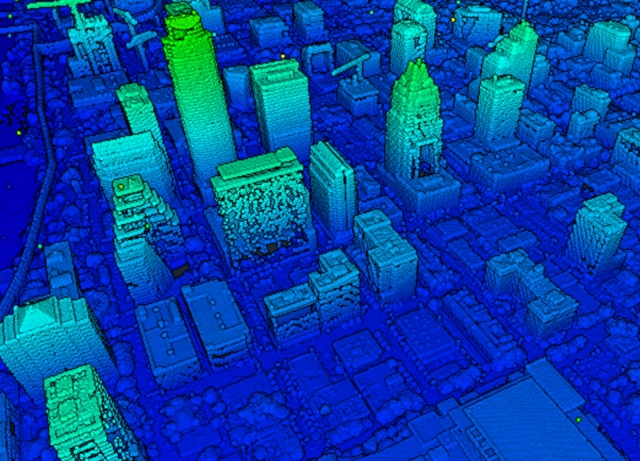
- GEOG 4525 Using LiDAR Data in GIS
- GEOG 4530 Digital Image Processing
- GEOG 4540 Enterprise GIS
- GEOG 4550 Advanced Geographic Information Systems (if not chosen in Group 1)
- GEOG 4590 Advanced GIS Programming (if not chosen in Group 1)
Learn more about GIS & Remote Sensing at UNT here.