Bachelor's of Science in Geographic Information Systems + Computer Science
See the GIS+CS curriculum here.

Cloud computing, big data, and Internet of Things (IoT) have dramatically impacted use of geospatial data. The GIS+CS degree at UNT addresses these needs by producing graduates who understand the complexities of geospatial data and are able to leverage computing techniques to convert such data into meaningful information. Watch industry and university experts discuss UNT GIS+CS here.
Elective Tracks: Information Technology and Computer Science.
Graduates of the program:
- Can apply geographical perspectives to contextualize and interpret complex geospatial processes captured through data.
- Have a sound understanding of computing principles.
- Have experience in programming using various languages including C++ and Python.
- Understand the complexities of using databases - a critical component of GIS.
- Have taken specialized courses, such as remote sensing, enterprise GIS, computer networks, security, data mining, graphics, and artificial intelligence.
Graduates can expect to find jobs as GIS Engineers, GIS Analysts, GIS Solutions Engineers, and GIS Application Programmers. Such positions typically tend to be part of IT/GIS departments in federal/state/local governments, real estate, logistics, retail, defense, infrastructure, energy, among others.
Students are also eligible for the GIS Certificate (here).
GIS+CS Program & Contributing Faculty
PROGRAM FACULTY
 |
PINLIANG DONG, Program Faculty (Professor / GIS Certificate Coordinator) Dr. Dong teaches Intermediate GIS, Advanced GIS, Advanced GIS Programming, Introduction to Remote Sensing, and Special Problems. He advises graduate student research in GIS, remote sensing, and applications in geographic and environmental sciences. Recent graduate theses include selecting optimal residential locations using GIS, vegetation mapping using NASAs EO-1 hyperspectral image data, development of a GIS toolkit for wildlife tracking, and small-area population estimation using high resolution satellite images and LiDAR data. |
 |
WEI KANG, Program Faculty (Assistant Professor) Dr. Kang's research interests reflect methodological and substantive concerns. Her methodological interest is the development of spatial/spatiotemporal analytics and local spatial models which could provide spatially enhanced insights into complex socioeconomic processes. Her substantive research interest is in housing, residential mobility, urban & neighborhood change, inequality, and disaster resilience. Her current project investigates eviction and neighborhood change before and after the COVID-19 pandemic in Inland Southern California using a multiscalar, comparative, and mixed-methods framework. |
 |
FEIFEI PAN, Program Faculty (Professor) Dr. Pan's research centers on application of theories, numerical models, remote sensing, and GIS techniques to environmental studies, i.e., water resources, hydrology, meteorology, and climate. As a hydrologist with a focus on hydrological processes at the plot, hillslope, catchment, watershed, and basin scales, these are his research areas in recent years: 1) soil moisture dynamics, 2) surface water and groundwater interaction, 3) surface water quality modeling, 4) remote sensing and GIS, and 5) visualization and numerical modeling of vegetation dynamics and snow process. |
CONTRIBUTING FACULTY
 |
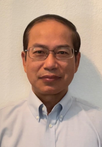
MIGUEL F. ACEVEDO, Regents Professor Electrical Engineering, College of Engineering Office: Discovery Park, Room B260 Phone: 940-891-6701 Email: Miguel.Acevedo@unt.edu Research Interests: Food-energy-water nexus, particularly sustainable brackish water desalination systems |
|
 |
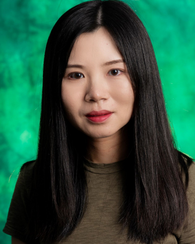
YUNHE FENG, Assistant Professor Department of Computer Science and Engineering, College of Engineering Office: Discovery Park, Room F251 Phone: N/A Email: Yunhe.Feng@unt.edu Research Interests: Responsible AI, Mobile Security and Privacy, and Social Media |
|
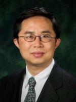 |
SHENGLI FU, Professor and Interim Dean Electrical Engineering, College of Engineering Office: Discovery Park, Room B276 Phone: 940-891-6942 Email: Shengli.Fu@unt.edu Research Interests: Communication and Signal Processing, Robotics and Autonomous Vehicles |
|
 |
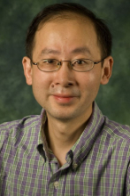
LINGZI HONG, Assistant Professor Department of Information Science, College of Information Office: Discovery Park, Room E292E Phone: 940-565-8545 Email: Lingzi.Hong@unt.edu Research Interests: Data Science and Engineering; Urban Computing; Crisis Informatics; and Data Ethics |
|
 |
HEEJUN KIM, Assistant Professor Department of Information Science, College of Information Office: Discovery Park, Room E295G Phone: 940-369-7580 Email: Heejun.Kim@unt.edu Research Interests: Text Mining, Machine Learning, Information Retrieval, Health Informatics, Geographic Information Science |
|