Nicholas Enwright
Class of 2007, M.S. in Applied Geography
From Denton to the Coast
Dr. Nicholas Enwright earned three credentials from the University of North Texas: a B.S. in Geography and a Certificate in Geographic Information Systems in 2007, followed by an M.S. in Applied Geography in 2010. His graduate research focused on using remote sensing and geospatial analysis to better understand wetland hydrology, first for a restoration project at the Grand Prairie City Landfill and later for freshwater wetlands along Galveston Bay.
Nicholas credits his research experience at UNT for laying the groundwork for a career dedicated to studying how coastlines and wetlands change through time. He fondly recalls learning geospatial research methods under Drs. Hudak, Hunter, Oppong, and Dong, whose mentorship and technical guidance, he says, gave him the skills and confidence to succeed in both federal science and graduate research.
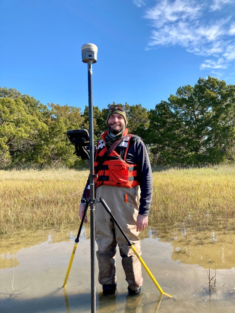
Mapping Change at a National Scale
After completing his master’s degree, Nicholas began his career as a GIS Specialist for a federal contracting company supporting the U.S. Geological Survey’s Wetland and Aquatic Research Center (WARC) in Lafayette, Louisiana. He transitioned to a full-time role with the USGS in 2013 as a Geographer, later earning his Ph.D. in Geography and Anthropology from Louisiana State University in 2019. His dissertation advanced the use of GIS and remote sensing for barrier island habitat mapping and modeling.
In 2022, Nicholas became a Research Geographer at the USGS WARC, where he now leads a team of seven early-career geospatial scientists. His research program focuses on coastal geography, particularly on how barrier islands and coastal wetlands evolve over time and how they may respond to future environmental change.
“Our work aims to understand how coastal environments are shifting and to improve the data and models that predict those changes,” he explained. “That understanding is critical for managing ecosystems, restoration, and hazard resilience.”
His team’s projects include developing repeatable mapping techniques to assess storm impacts and restoration outcomes, refining coastal habitat change models, and improving the reliability of elevation and land cover data used to estimate inundation or wetland transformation. While much of his research focuses on the northern Gulf Coast and Atlantic Seaboard, his analyses now extend across the entire conterminous United States.
To date, Nicholas has authored or co-authored 32 scientific publications, 16 as lead author, covering topics such as high marsh mapping, wetland migration potential under sea-level rise, and national-scale assessments of wetland change.
Lessons from UNT
Nicholas reflects on his time in Denton as a formative chapter that bridged curiosity and career. “The professors I worked with at UNT gave me the foundation I needed to do meaningful scientific research,” he said. “They showed me how to think critically, design questions that matter, and apply geospatial science to real-world problems.”
Advice for Future Geographers
When asked what advice he would give to current students, Nicholas emphasized hands-on experience and professional connection.
“Seek internship opportunities, especially with local agencies such as Collin County, and build your network while you’re at UNT,” he advised. “The connections you make and the experience you gain early on will open doors for years to come.”
From wetlands outside Dallas to barrier islands across the Gulf, Dr. Nicholas Enwright’s work reflects the enduring impact of a UNT Geography education: practical skills, scientific curiosity, and a lasting commitment to understanding the world’s changing landscapes.