Moving forms of the Tibetan Plateau
July 8, 2014
Moving forms of the Tibetan Plateau
Dr. Pinliang Dong (Photo 1) and his collaborators from the Laboratory of Digital Earth, Chinese Academy of Sciences conducted one-week field investigation of tectonic geomorphology near Yushu, Qinghai Province, China. Located on a major active fault on the Tibetan Plateau, Yushu was hit by an M7.0 earthquake in 2010. The research team studied tectomorphological features near the active fault and surface ruptures caused by the 2010 earthquake (Photo 2). They also conducted terrestrial LiDAR scanning of these features with centimeter-level accuracy.
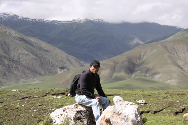
Photo 1: Dr. Pinliang Dong at ~4021 meters above sea level on the Tibetan Plateau. At this elevation, altitude sickness, which can include constant headache and shortness of breath among other symptoms is a major challenge. Also, see surface ruptures in the background.
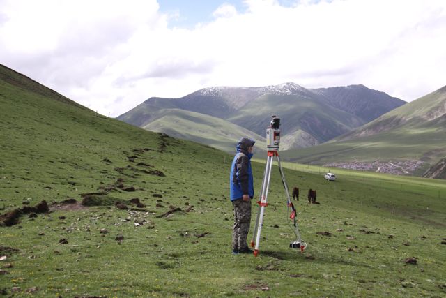
Photo 2: Observation and measurement of tectomorphological features near the active fault. See surface ruptures caused by the 2010 earthquake along left side of photo.
For more about Pinliang's research, you can visit his webpage at http://geography.unt.edu/~pdong/research.html